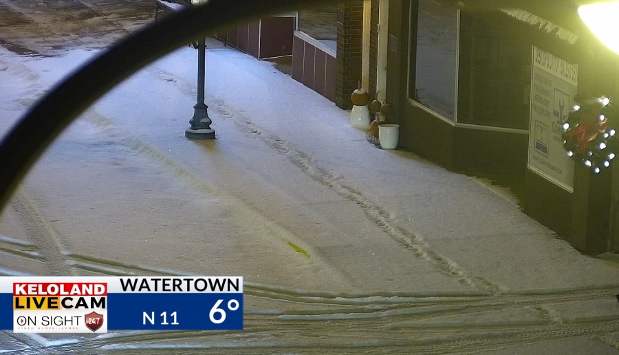
SIOUX FALLS, SD (KELO) —Light snow fell across eastern KELOLAND last night, with a range up to 2″ of accumulations. Watertown picked up 2″ on the dot and you can the results in the picture below.

Sioux Falls received just under 1″. Roads are slippery in spots, so slow down on the roads this morning.

The cold weather has been perfect for making more snow at Great Bear. Take a look at those piles of snow growing by the day!
On radar, you can track the light snow that began yesterday afternoon in eastern North Dakota. The snow has moved to the southeast quickly this morning, leaving behind just a few flurries and plenty of cold weather.
Futurecast below shows the chilly afternoon highs in the upper teens and lower 20s East River, with upper 20s likely in Rapid City. While temperatures will be cold again tonight, a nice warming trend will bring some changes to the weather tomorrow. Rapid City will be close to 60 degrees tomorrow! Sioux Falls will closer to 30, which in the warmest day since the middle of last week.
The warming trend will come to a halt during the day on Wednesday. Sioux Falls may quickly warm to near 38 Wednesday morning ahead a polar cold front. Expect strong, gusty NW winds and falling temperatures throughout KELOLAND Wednesday afternoon and evening. A few snow showers can’t be ruled out as well. Look at the wind gusts on the video below. Gusts over 35mph are likely in eastern KELOLAND Wednesday afternoon and evening.
While temperatures will colder again on Thursday, a nice warming trends is likely by the weekend. Take a look at projected highs for the weekend on the maps below.


Here are the details of the forecast.


