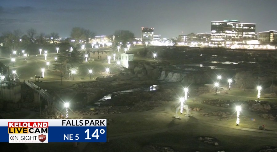
SIOUX FALLS, S.D. (KELO) —Good morning KELOLAND! It’s another chilly morning in KELOLAND with areas of light snow moving across the north on this Wednesday.

You can see the early morning radar returns in the Aberdeen and Mobridge areas. Accumulations have stayed light, but use caution as you drive in the affected areas today.
On Futurecast, you can the see the snow today across the northeast, with most of the activity staying north of Sioux Falls. We expect a break in the light snow chances tonight, but another minor disturbance will move into western SD on Thanksgiving. Again, some light snow can’t be ruled out in this pattern.
This map shows the wider view across the region and the various light snow chances ahead. This is typical in a “northwest flow” pattern. Unfortunately, the exact timing and placement of these weak systems will be the challenge over the next few days.
Don’t forget about the wind chills the next few days. In fact, the numbers drop into the minus teens by Friday morning in the northeast.
You can see the cold highs for Thanksgiving on the map below.

Here are the details of the forecast.


