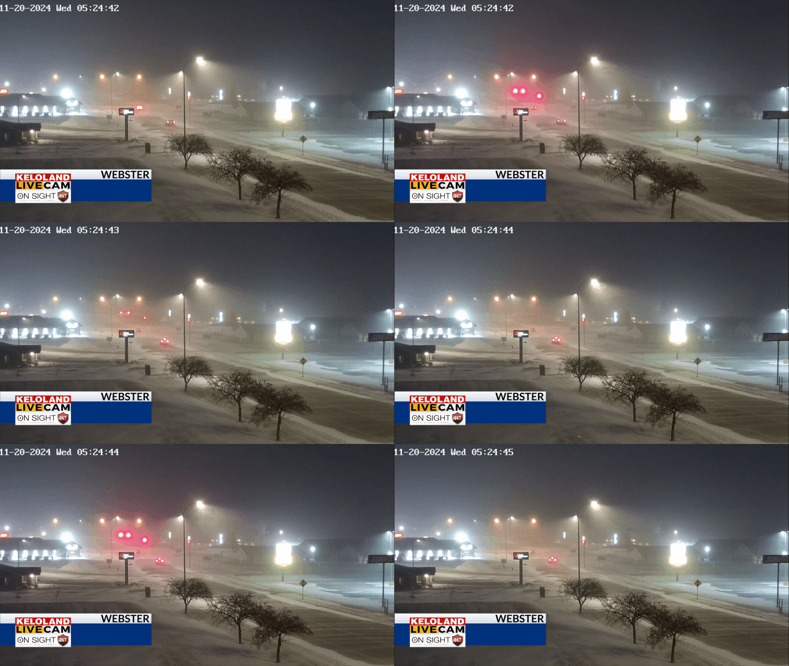
SIOUX FALLS, SD (KELO) —We are tracking snow this morning in eastern KELOLAND. You can see the accumulations already in the Webster area in the image below. It’s enough snow to plow and more is on the way today.

A quick radar update as of 5:45 shows snow reaching into southeastern KELOLAND, mainly just west of Sioux Falls. We have slick spots on the roads and please slow down as you head off to work and school.

The official winter weather advisory areas have not changed from last night. Expect the most snow accumulation in these areas shaded in blue.

How snow can you expect? We are forecasting a small corridor of 4+” of snow from Webster to De Smet. Outside of that area, amounts should mostly in the “nuisance” range.

Sioux Falls will likely stay under 1″, but the wind will reduce visibilities in the middle of the snow bands.

Strong winds will contribute to blowing snow today, with many gusts over 40mph through the day. More details ahead…


