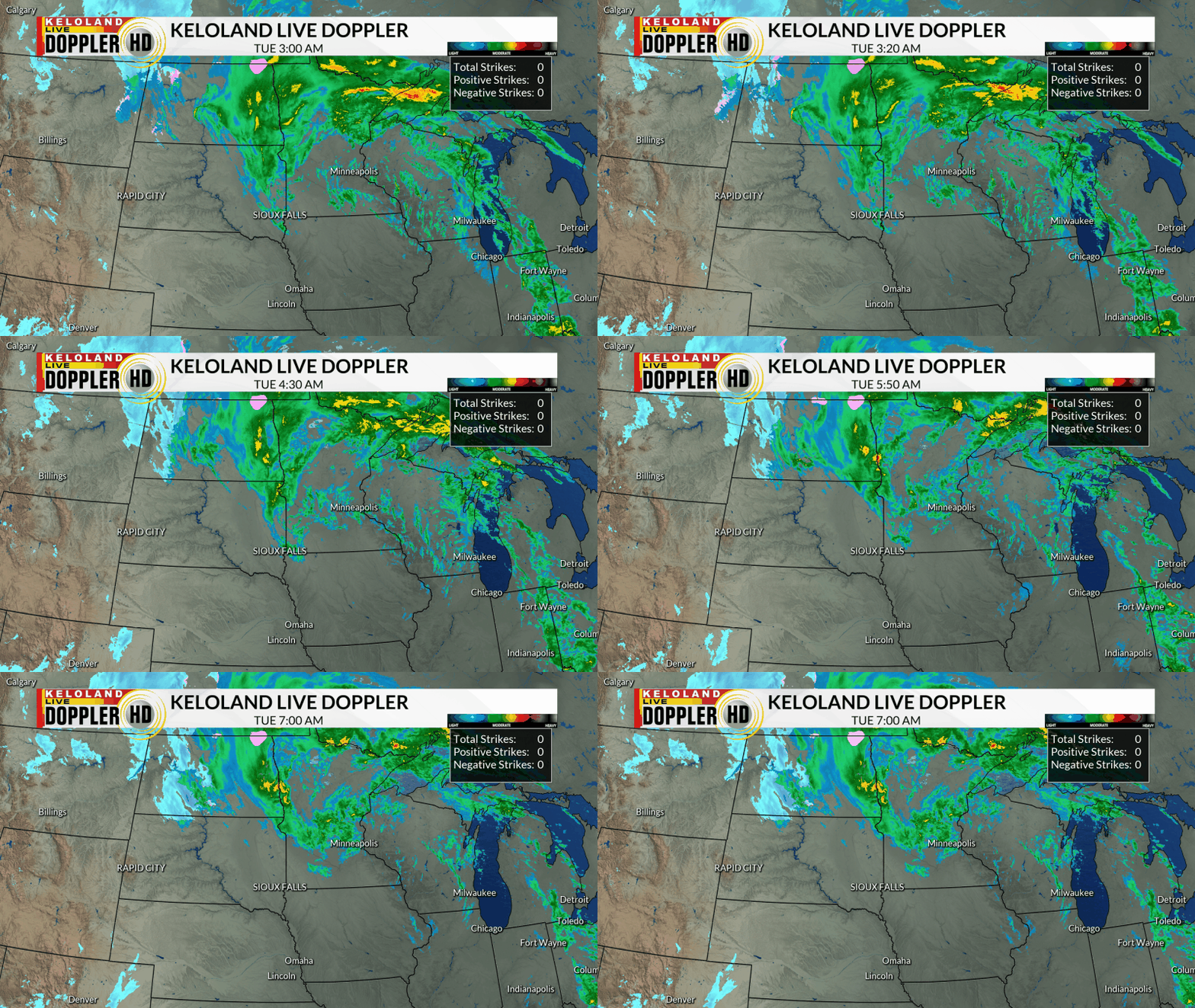
SIOUX FALLS, SD (KELO) —A large storm system continues to move north this morning across the Upper Midwest. You can see the rain in green and some snow in blue on the backside of the storm.

We’ve picked up some nice rain totals along and east of the James Valley. 1.43″ is the storm total for Sioux Falls, with similar numbers across much of northeastern and southeastern KELOLAND on the map below. Expect at least some improvement in the new drought monitor on Thursday.

We’ll see a break in the rain today across much of the region, with some sunshine trying to break through those clouds from time to time. Temperatures should hold steady in the 40s with strong winds most of the day.

The forecast the next 24-48 hours is looking more active again as the upper-level low pressure system moves in reverse and heads back into the eastern KELOLAND. Cold and strong NW winds will help aid in snow development overnight into tomorrow. You can see the snow wraps into much of eastern SD and western MN during the day.

A closer look at Futurecast below shows temperatures holding in the 40s today, but getting colder tomorrow in the 30s and the snow expands across the east. Folks in western SD should miss most of the moisture, but the wind will be a factor for all areas.

Here’s a closer look at the wind forecast. You can see we’ll have NW wind gusts well over 40mph through tomorrow.

Combining the wind and the snow outlook, it appears travel will become hazardous as times in parts of northeastern SD. Expect significant reductions in visibility and enough snow to make roads slippery in the Watertown-Webster-Sisseton areas. Sioux Falls will likely get a taste of this wintry weather, but the best bet for a “coating” of snow snow will be just north of the city. Stay tuned for updates on this system through the day.

Here are the details of the forecast.


