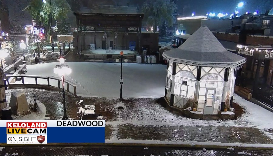
SIOUX FALLS S.D. (KELO) — Light snow continues this morning across the Black Hills after some heavy snow yesterday.

You can see snow accumulation map below, with 8.5″ reported this morning just NW of Terry Peak.

On radar, the showers have decreased West River this morning, but a new batch of rain is heading for southeastern KELOLAND later today and tonight.

You can see that developing trend on Futurecast below. It still appears Sioux Falls will pick up generally light amounts, perhaps one or two tenths of an inch. However, some heavier showers are possible in NW IA. Also, don’t be surprise if some of the rain blends with a little snow late tonight in SW MN.

On the horizon, another system will move into the plains by Sunday and Monday. The Gulf of Mexico will be open, with moisture flowing northward into the plains. We’ll keep watching the forecast.

Here are the details of the forecast.


