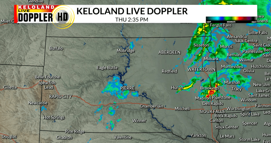
SIOUX FALLS, S.D. (KELO) — Increased cloud cover, along with scattered showers have moved into KELOLAND today. Areas in western South Dakota are beginning to clear out and the remaining showers will move into Minnesota going into this evening.

A low pressure system has brought a cold front with it, dropping temperatures for today in western and central KELOLAND. Southerly flow ahead of the front has kept winds calmer to the east and gustier behind the front.

The gusty winds will calm down during the overnight hours and northerly flow will move in for our area. Clear skies and light winds will drop our lows into the 30s.

A high pressure system moves in going into tomorrow, giving us a very seasonable and pleasant Friday. Highs will stay in the 50s and 60s with light winds and more sunshine.

Going into the rest of the weekend, we stay quiet as a ridge will build in from the west and slightly warm our temperatures. By Monday, we will be well above-average again with highs getting into the 70s.

The updated drought monitor continues to show that we are in need of more rain. While areas continue to struggle in extreme drought conditions, severe drought has expanded in far eastern KELOLAND.

A warm and dry stretch will come to an end by the middle of next week as an active weather pattern returns, bringing more rain chances.
