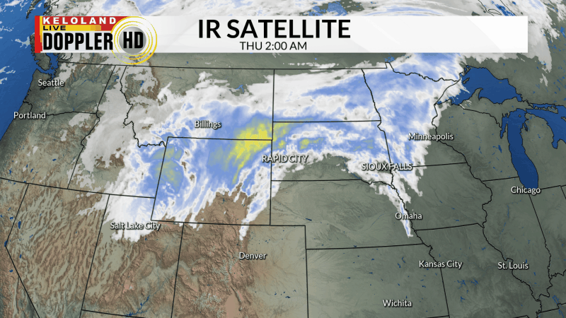
SIOUX FALLS, S.D. (KELO) —Thickening clouds today will give way to some scattered rain chances across KELOLAND. Don’t expect widespread rain, but at least it’s something to watch. You can see those clouds on the infrared satellite map below.

Temperatures remain above normal for this time of the year. Highs rebounded into the 60s and lower 70s today through much of KELOLAND.

For today, look for more 60s, even with the increased cloud cover forecast. We expect the scattered rain chances to migrate eastward into the Minnesota this evening, with a gusty NW wind on the back side of the cold front. Overnight lows will drop into the 30s, with a very seasonable weather pattern ahead for Friday under dry skies.

Changes to the weather pattern will be ahead for early next week. We expect a big warm-up in the forecast Sunday and Monday as a storm system tries to develop to our west. As a result, rain chances will come back to KELOLAND at the end of the 7-day forecast. This pattern change is showing more signals of strength, so keep watching for more details of the forecast next week.

Here are the details of the forecast.


