SIOUX FALLS, S.D. (KELO) — While it hasn’t been as warm as it was yesterday, today has featured yet another round of well above average temperatures across the region.
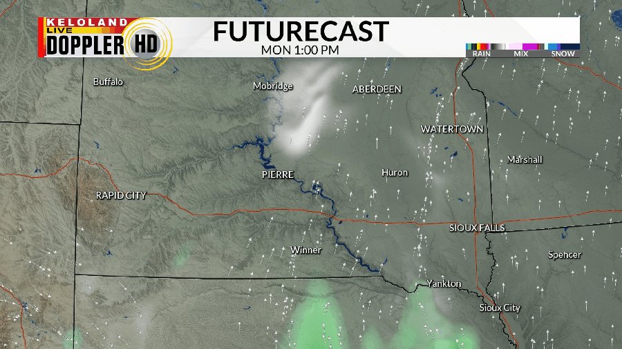
Much of the morning was pretty quiet, but we at least still have a lesser chance for some spotty showers as we head into the evening and the first part of the night.

While moisture amounts are not expected to be that robust (Generally a few hundredths of an inch on the high end), it’ll still be a welcome sight all the same.
A lesser rain chance arrives on Tuesday in extreme southern KELOLAND, but effects from this are negligible. What won’t be negligible, however, is the wind and ensuing cooldown. It won’t get too cold on the back side of a surface cold front, but it’ll be the closest to average that we get for the rest of the week. 60s come back by Thursday and last into at least Saturday.
Along the way, we also get another chance for rain by Thursday as low pressure tracks through the region. We’ll watch this to see how this unfolds in the coming days.

The weekend, overall, is a warmer one…though nowhere near as warm as Sunday and/or Monday. Another chance for rain arrives for the start of next week before we try to get some sustainable cool weather for the start of November. Considering how warm October has been, file this under “Wait and See”.

Here’s a look at your extended forecast:


