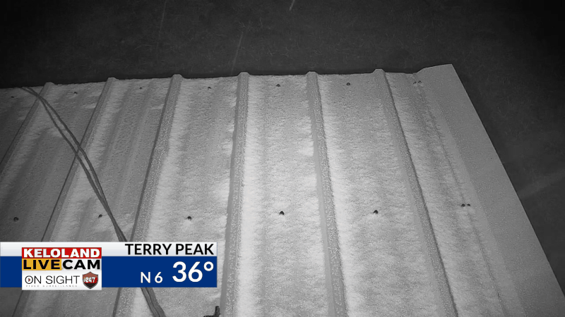
SIOUX FALLS S.D. (KELO) — Light snow has been falling in the Black Hills this morning. You can see some of the minor accumulations on our Terry Peak Camera as of 7am. A mix of light rain and light snow will be possible today.

You can see the snow highlights on the map below…the first of the season!

On radar, scattered showers are also moving into central KELOLAND. This system is still starved for moisture, but we do expect more scattered activity the next 24 hours.

The good news for the pheasant opener tomorrow is less wind and cooler temperatures.

Futurecast shows the contrast in temperatures today, with 30s and 40s in the Black Hills and 70s in southeastern KELOLAND. The rain will remain scattered, but we’ll continue to watch the trends in Nebraska tonight. That moisture will stream northward into KELOLAND. Expect the scattered rain chance to end Saturday afternoon, but another scattered rain chance will return on Monday.

Here are the details of the forecast.


