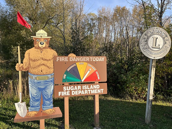
Federal monitors say parts of northern Michigan and the Upper Peninsula are experiencing a drought.
Dry weather and high winds mean there’s a higher chance of fire, according to the state Department of Natural Resources, which is asking people to be careful.
The weekend brought some rain and cooler weather to the region, said Keith Murphy, a fire management specialist for the DNR in Marquette, and they have the situation under control. Still, they’ve been busy.
“It bought us a couple days in certain portions of the Upper Peninsula, and then other portions, like southern U.P., still have very high fire conditions,” he said. “We haven’t stopped running fires, even with the rain that came through.”
Murphy said they’re also keeping an eye on the winds, which have knocked trees onto power lines, though that hasn’t caused any major fires. A lightning storm over the weekend could pose additional threats.
The department has restricted burning in much of the region. Rain over the weekend offered some reprieve, but Murphy said conditions are still risky; fires can burn for a long time when so much vegetation has dried out.
“They were already dry, super dry, beforehand,” Murphy said. “They get a little rain, and everybody thinks it’s good to go, but we have the winds that dry those fuels right back out very quickly, and we’re in the conditions that fires will spread easily.”
Most wildfires are started by humans. Managers want to limit the chances of new fires starting and spreading, Murphy said, “because of the dry fuel, the big winds, and then it takes so long to put these fires out because of the drought.”
The department has restricted burn permits in many parts of the state, including northern lower Michigan and much of the U.P.
Murphy said campfires are still allowed, but recommended that people who do start campfires ensure they’re completely extinguished before leaving.
“Turn over logs. If you need water, put water on that. Stir everything up. Stir it up some more,” he said. “If you think it’s out, put some more water on it. Stir it up some more.”
Murphy’s parting advice: “If you don’t have to burn, just don’t burn.”
What’s behind the weather?
These dry temperatures are a shift for our region from earlier in the year. Fall isn’t the only season that’s seeing extremes.
“Gaylord had its wettest meteorological spring since records began in 1951,” said Harold Dippman, a meteorologist with the National Weather Service, who’s based there.
September was hotter and drier than normal, he said, and dry air masses that moved into the region allowed for swings in temperature between day and night.
There has been a long stretch of “very warm days, anomalously warm, you know, 15 to 20 degrees above the normals, and then low temperatures actually near normal,” he said.
Gaylord and Sault Ste. Marie observed their warmest Septembers on record.
As for the dryness encompassing the region, it “has certainly been one for the record books,” Dippman said, with many spots in their service area experiencing among their top 10 driest Septembers on record.


