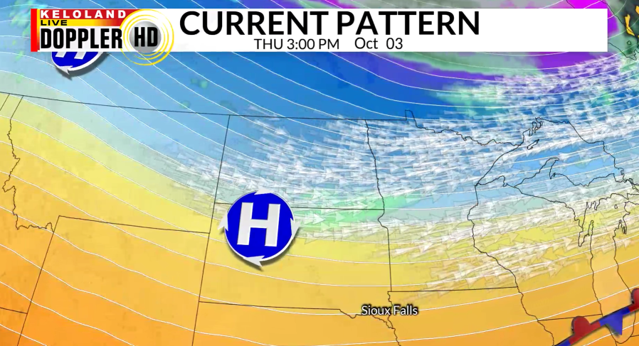
SIOUX FALLS, S.D. (KELO) — As a cold front dropped temperatures across KELOLAND yesterday, we continue to cool as a high pressure system and trough slide into the region. Winds became northerly and have stayed fairly light. Southern and eastern KELOLAND have had breezier conditions today with low relative humidity, bringing another day of elevated fire weather conditions.

Cloud cover has increased in eastern KELOLAND this afternoon due to lift in the atmosphere. This won’t last long as skies clear out going into the evening.

During the overnight hours, frost is a concern for most of East River as temperatures drop into the 30s with light winds. Northeastern South Dakota is in a frost advisory for tonight into tomorrow morning.

With an approaching low pressure system and the high moving out, winds will turn to the south and become breezy. This will allow us to have a slight warm up for tomorrow but fire weather danger will return heading into the weekend.

The drought monitor was updated this morning and showed no improvement, as expected with the dry pattern. Eastern KELOLAND has been expanded into the dry category with areas of far western South Dakota still in extreme drought.

After warming into Saturday, another dry cold front is expected to move through KELOLAND Saturday, dropping temperatures once again into the 60s. It won’t last long before we are back at above-average temperatures as an upper-level ridge returns to the area.
