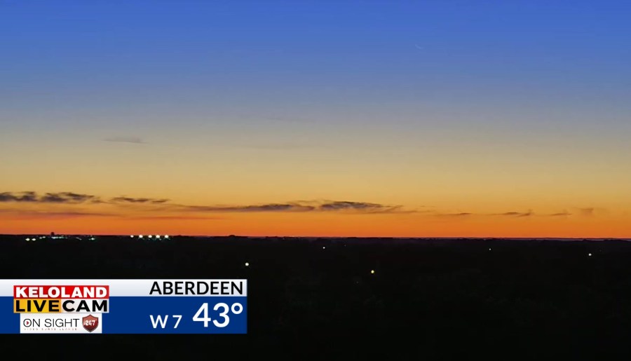
SIOUX FALLS, S.D. (KELO) —After a chilly start to the morning, another mild day is ahead for KELOLAND as we begin this new month of October.

Red flag warnings will return today for much of western and central South Dakota for high fire danger. Expect increasing southerly winds and high temperatures into the 70s.

It continues to dry down across much of the region. You can see the 30-day moving averages are well below normal for many areas.

Temperatures today will recover back to the 60s in the Sioux Falls area, with 70s likely across the central and west. Southerly winds will keep temperatures warmer overnight, primarily in the 50s by daybreak tomorrow morning. Look for widespread 80s tomorrow in eastern South Dakota ahead of the next cold front.

Rain chances look very limited with that frontal system, a theme that will continue well into the extended forecast. You can see we’re not alone with much of the midsection of the nation remaining dry.

Temperatures will also remain above normal throughout much of the forecast.

Here’s a closer look at your complete forecast.


