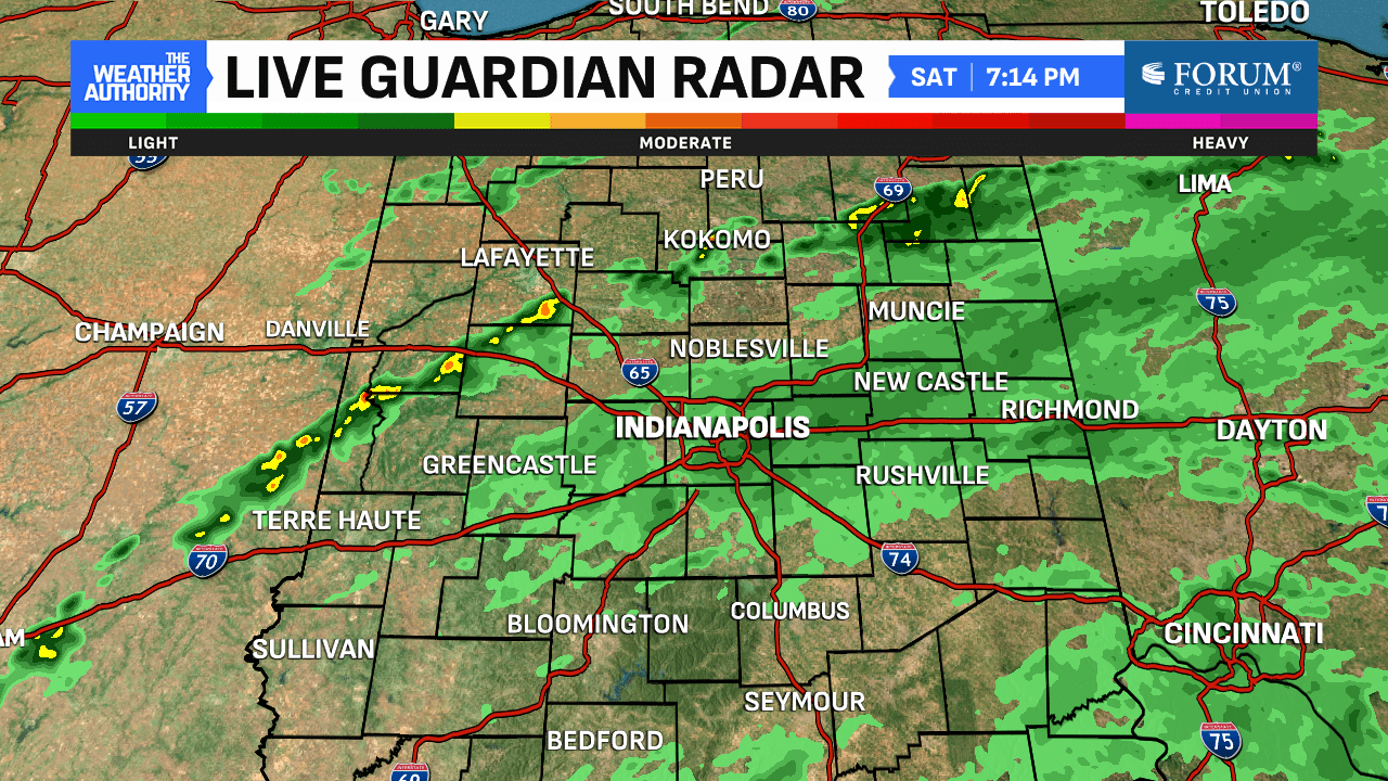
After a very busy Friday (Indy’s rainiest day in eight weeks), the weekend started with more rain but improved power restoration across the state. Where Helene was the strongest, however, power outages still ravage in her wake. We had additional scattered light showers for most around here on Saturday. However, a few spots north, west and NW did receive some quick downpours.


Rain continues Sunday
Helene’s remnants are slow moving but they’ll gradually get out of here. Central Indiana will see more light rain in spots on Sunday. But, like Saturday, the heavier rain will come in bursts and be widely scattered. Bring a poncho or umbrella if you’ll be outside. Colts tailgating will have some light rain chances but the roof/window at Lucas Oil Stadium will be closed.


Most of Monday will be dry with temperatures in the mid-to-upper 70s. Helene will finally push away later Monday, bringing the rain with it. The last day of September will also be Central Indiana’s last rain chance for several days. The recent rains did help close the gaps in our rainfall deficits.


Nice start to October on tap
October starts Tuesday and it’ll be a great day! Skies will begin clearing and the sunshine will dominate the near-term forecast around here. Expect highs in the mid-to-upper 70s Tuesday. A weak front will push through Wednesday and drought temperatures slightly. However, it’s expected to be a dry front and not bring additional rain.

Once it passes, expect temperatures a bit above normal in the upper 70s to near 80° into next weekend. Forecast highs in that timeframe look a good 8-10° above average.

