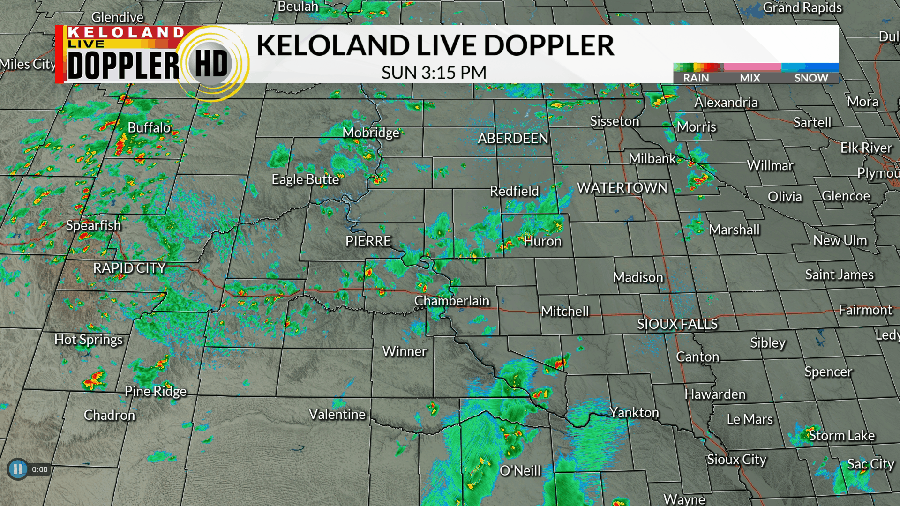
As advertised, it’s been a case of hit-or-miss showers and storms across KELOLAND. While some areas like Sioux Falls have remained mainly dry, others have dodged several rounds of brief rain and the occasional storm.

This will be a trend that continues through the rest of the day and into the evening. While storms should stay sub-severe, heavy rain and some hail are possible with any cell. There is also a small chance to see a funnel cloud at times, so keep an eye on the skies.
A few showers and storms may linger into the first part of the night as this impulse moves through KELOLAND. That will set the stage for another chance to at least see a few isolated showers and maybe a storm or two on Monday. Again, much of the day is mainly dry to kick off the new work week.
Tuesday and Wednesday may see a few scattered showers and storms, with chances being higher to the northeast on Tuesday and southeast on Wednesday. Again, the severe threat is low overall.
The rest of the week is shaping up to be mainly dry as high pressure takes over and an associated ridge starts to set up shop over KELOLAND. Along the way, we’ll also have a gradual warm-up that carries us into the middle of the month. 80s will give way to 90s by the end of the week and especially by the weekend.
It may also get rather muggy at times as we warm up, so keep this in mind if you have any outdoor plans or projects scheduled for that time.
Here’s a look at your extended forecast:


