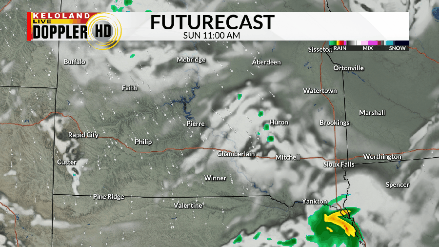
We’ve already seen some showers and heard a rumble of thunder or two early on this morning, especially in central South Dakota, but it won’t be the last time we talk about a few spots of unsettled weather.
While much of the day is dry, we do have the chance for some pop-up showers and thunderstorms in the afternoon and evening. The overall severe threat is rather low, but any storm that does get its act together may produce a brief round of more moderate rain and a bit of wind.

A few showers and storms may linger into the night as this impulse moves through KELOLAND. That will set the stage for another chance to at least see a few isolated showers and maybe a storm or two on Monday. Again, much of the day is mainly dry.
Tuesday may see a few storms to the northeast, with spotty chances for rain elsewhere. After one more chance to see some showers and storms on Wednesday, we get in on a pretty dry run of weather for the rest of the week.

Along the way, we’ll also have a gradual warm-up that carries us into the middle of the month. 80s will give way to 90s by the end of the week and especially by the weekend.

It may also get rather muggy at times as we warm up, so keep this in mind if you have any outdoor plans or projects scheduled for that time.
Here’s a look at your extended forecast:


