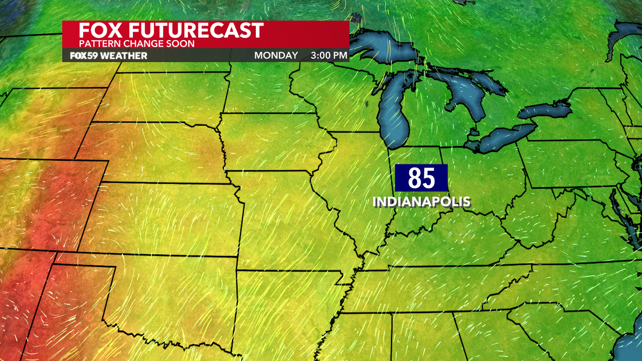
Another seasonably mild day is behind us with highs in the mid-70s across Central Indiana! This came as our skies slowly cleared out with some widely scattered showers throughout the day. Expect the moisture-filled southwest flow to be the story to kick off the first full week of June. However, signs continue to point to a pattern shift later on.
Foggy conditions likely
Thanks to our recent rains, our grounds are wet! That increased moisture combined with the calm winds will likely produce some fog. It could be locally dense in spots overnight and early Monday!
Turning warmer starting Monday
Winds will shift Monday thanks to a warm front lifting northwest. This will aid in warming up temperatures into the 80s with perhaps a very isolated shower in spots. There is less than 10% coverage for Monday’s rain chances but still something to watch. It will be a touch on the muggy side, too with dew points in the 60s.

Expect the following days to be in similar ranges for temperatures on Tuesday and Wednesday. It’s also on these days where storm chances will increase.
Midweek summer storm chances
The first round will develop on Tuesday afternoon day with summer-like temperatures and humidity in its wake. The severe threat looks low, but showers and perhaps a storm or two remain possible in that timeframe.
The best chances for rain this workweek are Tuesday night and Wednesday. All of this activity will be associated with our next frontal boundary. Severe threat still looks how but the building convection could be stronger in spots. Additionally, on Wednesday, heavy rain is something to watch.

Changes follow the storms
Central Indiana will see a pattern shift for the latter portion of the workweek. Northwest flow will return following the storms and stick around for several days. Highs will be below normal starting Friday with highs likely not getting out of the 70s on some days.

Yes, daily rain chances return for next weekend but it will NOT be a washout by any stretch of the imagination. The activity will come in bursts as multiple waves of energy move across the Midwest. This looks to be the story for the weekend and into the following week.


