Geography is a big topic. It literally spans the globe. That’s why the National Council for Geographic Education and the Association of American Geographers broke geography down into five distinct themes:
- Location
- Place
- Human-Environment Interactions
- Movement
- Region
Here’s a short video about each of the five themes of geography and how to approach them in the classroom.
Geography Theme 1: Location
Location is the study of where places are located, both absolute and relative.
Absolute location is a definitive reference for a place. So, it’s a place’s latitude and longitude, an address, or any other way to tell exactly where a place is. If you describe your house as being at 123 Main Street, you’re describing an absolute location.
Relative location explains where a place is in relation to other landmarks and the environment. Describing your school as 23 miles from the nearest ocean is using relative location.
Location is important to understanding the geography of a region as it helps us communicate about different places. And defining location helps us understand how things like climate, natural resources, and topography impact humans.
How To Teach Location
Teaching location means teaching kids to describe places, as well as reading and creating maps.
Build an amusement park
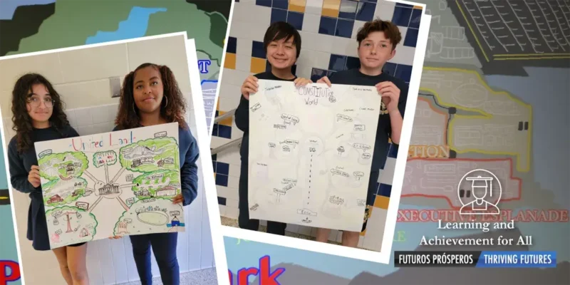
Teach the basics of mapmaking and ideas of location by having students design their own amusement park. Have them think about the absolute and relative locations as they map out their rides. The big roller coaster is at a specific latitude and longitude. It’s also 50 feet from the snow cone stand.
Get it: Build Your Amusement Park lesson
Create a story map
Read books from around the world and, as you do, identify on the map where each story takes place. As you read, talk about how the place shaped the story. For example, how did Spanish topography and culture shape the story of Ferdinand the Bull?
Here’s a list of picture books that take place around the world to get you started.
Map in pieces
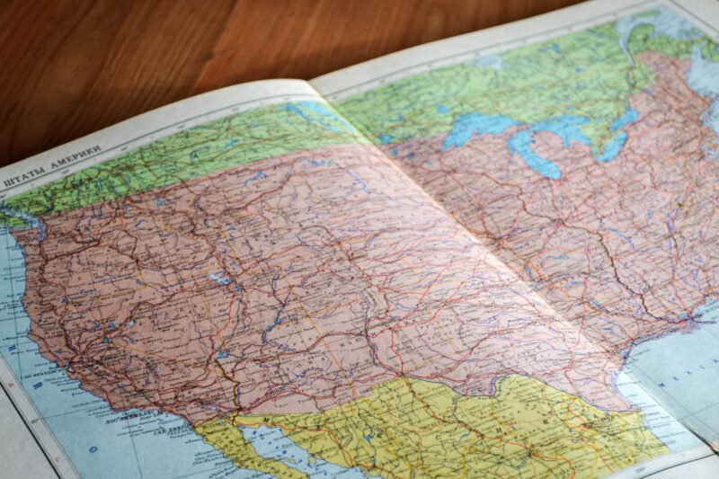
Cut pieces out of a map of the United States (small or large, depending on the grade you teach) and have students guess which state it comes from based on what they see. Is there ocean coastline? A lake? Lots farmland? Can students work together to match each piece with the state it comes from?
Create a class atlas
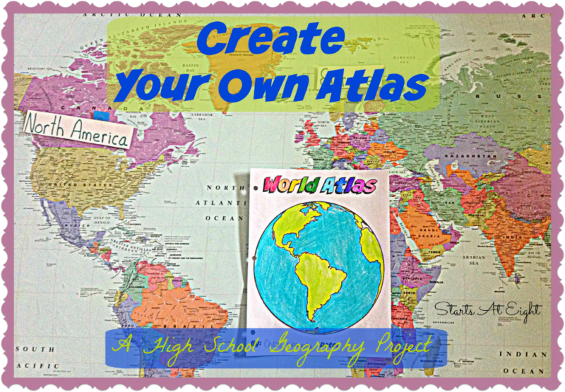
Give students large pieces of paper and research tools. Assign them each a country to research and create an atlas page. Then, display all the atlas pages in a public space so they can read about other countries.
Geography Theme 2: Place
Place is about understanding the human and physical characteristics of a location.
Physical characteristics are things like mountains, rivers, beaches, climate, and animal and plant life. Think about what you’d see on a topographical map. Using physical characteristics, a place could be described as dry, arid, and populated by cacti and desert animals.
Human characteristics are things that people have made that define a place. That could be architecture, farms and land use, religious practices, political systems, transportation, and/or communication. Using human characteristics, a place could be described as an advanced, Spanish-speaking democracy with a Catholic majority.
Place is important because the characteristics of a place influence how humans interact with the environment. For example, the amount of rain impacts which crops can grow. Or a place with a redwood forest may create a logging industry in one area.
And place is important for understanding cultural diversity. Culture is shaped by place, and different regions have different traditions and beliefs that are shaped by place.
How To Teach Place
Have students explore the idea of place by working with each element—physical and human—in various projects and all at once.
Create your own country
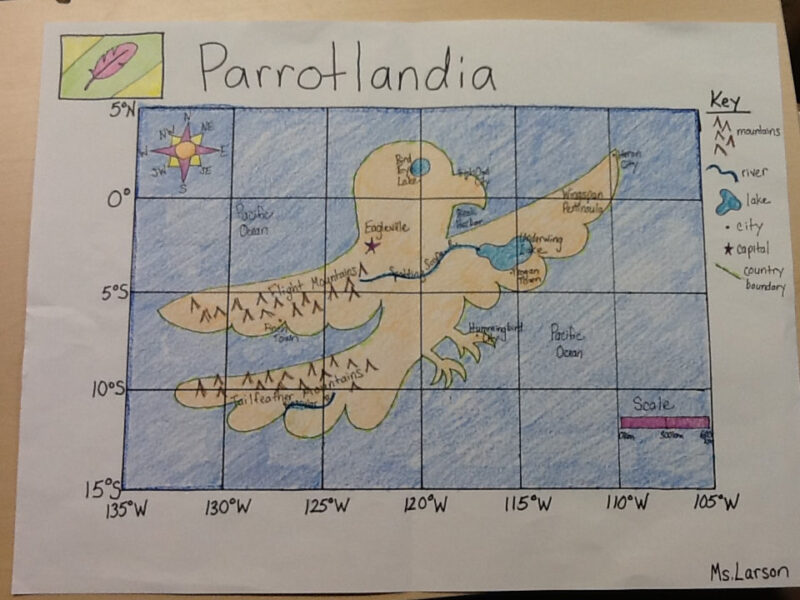
A project like having students create their own country asks them to think through the characteristics of a country they create, as well as the features of the area they choose to place it on the globe.
Get it: Create Your Own Country lesson
Create a real world map
Watch a video about the challenge of creating a map of the world like this one:
Then, have students tackle the challenge of how to represent the world map. How have cartographers already solved this problem? What other ideas do students have?
Put together a soil report

Have students request soil samples from people they know around the country or even the world. Once you have the soil samples, investigate them. What is similar? What is different? How does the composition of the soil tell you about the place it’s from?
Compile a weather report
Assign each student or group of students a city around the world. One day each week or for a few weeks in a row, students look up the weather for that city, record the weather highlights, and keep track of the weather patterns. When students have enough recorded information, have them analyze and present the data. Which city has the highest temperature? The lowest? The biggest range? Smallest range? What can weather tell you about a place?
Investigate maps
Watch a video on how maps have been wrong throughout history:
Then, review different types of maps and discuss what each map shows and what type of information cartographers need to collect to create it.
Read more: Google Earth Hacks To Use Now
Geography Theme 3: Human-Environment Interactions
Human-environment interaction is the consideration of how humans adapt to and modify the environment. So, it’s how people have shaped the land, in positive and negative ways, and how the environment shapes people. For example, human-environment interaction explores how people living in cold climates use natural gas to heat homes, while in more temperate climates, people use other methods of heating and cooling. Another example is how the construction of dams impacts people (more people can live in an area) and the environment (some animals may thrive while others may not; a lake may be created where there wasn’t one before).
Humans are always shifting and impacting the land, so this theme is important to understand how human activities impact the planet and the resulting consequences.
How To Teach Human-Environment Interactions
Teaching human-environment interactions starts with helping kids understand how they benefit from and impact their own environment, and expanding from there.
Make a list of wants and needs
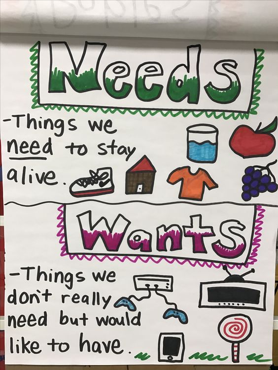
Have students work together to list their wants and needs. How do they get their wants and needs from their current city? How might their wants and needs change and be met if they lived in a different place?
Calculate population change
Collect population statistics for your town going back at least 50 years. When students present and analyze the data, what do they notice? What trends do they see? What might have influenced those trends? For an extension, invite a local historian into class to talk about the population trends and history of your area.
Go natural

Investigate the plants that grow naturally in your area and create an image of what a natural yard would look like. Would there be less grass because you live in a dry area? Or would there be tall plants because you live in a place with lots of rain? Have students create a campaign to encourage people to let yards go “wild.”
Do a vanishing-island project
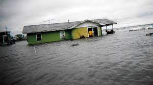
After watching a 9-minute film about the Isle de Jean Charles, a tiny island community off the Louisiana coast, students learn about how the changes on the island are impacting people who live there. Then, they learn more about the effects of hurricanes for people who live on the coast.
Learn more: A Vanishing Island lesson at PBS LearningMedia
Geography Theme 4: Movement
Movement studies the ways that ideas, goods, resources, communication, and trends travel around the world. This includes migration and immigration. Movement could be cell phone reception moving around the world, or refugees fleeing a country during war.
Movement is broken into different types:
- Human migration: when people move from one place to another either voluntarily or involuntarily
- Transportation of goods and services: moving products from where they are made to another place
- Communication of ideas: dissemination of information through various channels
- Cultural diffusion: when cultural traits spread from one society to another
- A big theme in movement is globalization and the impact of globalization on economies around the world.
How To Teach Movement
Teaching movement involves introducing students to new topics, like shipping, and using familiar tools, like maps.
Read about movement
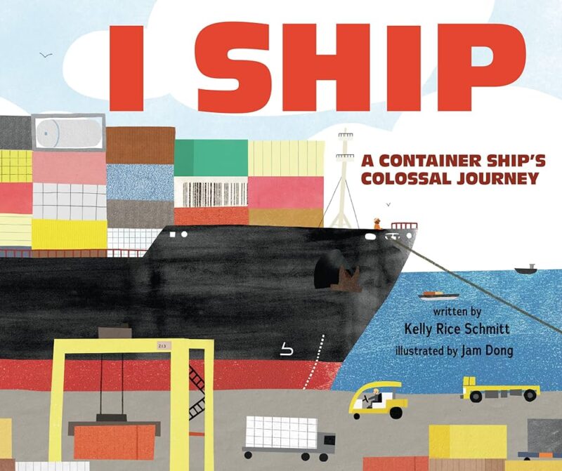
Read a book like I Ship by Kelly Rice Schmitt and use the book’s narrative to trace how goods move from one place to another through shipping routes.
Buy it: I Ship at Amazon
Get teaching guide: I Ship Teaching Guide at Lerner Publishing
Create a travel map
Have students create a list of places that they would like to visit around the world. How would they get to each location? Have students create a map of how they would get from their hometown to each place. Can they think of creative ways to move from one place to another? For example, are there any shipping routes that go from your town to another country? Or do you want to visit any places that are close enough to travel to via hot-air balloon?
Here’s how to make a map using Google Maps:
Create a family movement map
Ask students to ask their parents and grandparents where their family came from and create a class map of how people moved and immigrated to your town. Note that one family may have more than one immigration or migration route.
Learn about push and pull factors
Watch a video about push and pull factors and migration, like this one:
Then, assign students a region and have them research why people are either moving to or from that region. Some regions to include: Syria, the United States, Pakistan, India, Ukraine.
Use the World Migration Report 2020 for a visualization.
Geography Theme 5: Region
Regions divide the world into units for study. Each region has some characteristic that unites it.
- Formal regions: regions with official boundaries, like cities, states, countries
- Functional regions: regions that are defined by connections, like the suburbs around a city that create a region
- Vernacular regions: perceived regions like “the Midwest.” There are no official boundaries, but these regions are generally understood.
Studying cultural regions helps students understand how societies have developed over time and how environment shapes human culture.
How To Teach Region
Teach region by creating regions and working with concepts that help define regions, like time zones and artifacts.
Map your school region
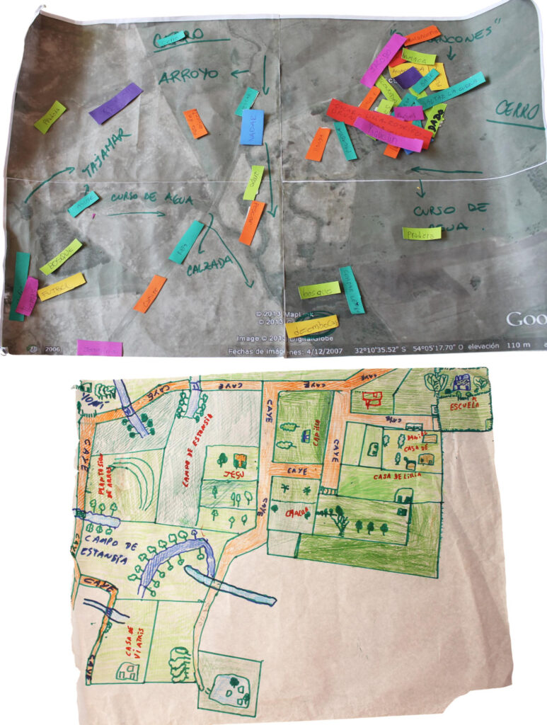
Use students’ addresses to create the region for your class. Then, discuss the physical features. What physical features are included? What man-made features are included? How do the features that are included influence the experience of living there?
Create a wall of time zones
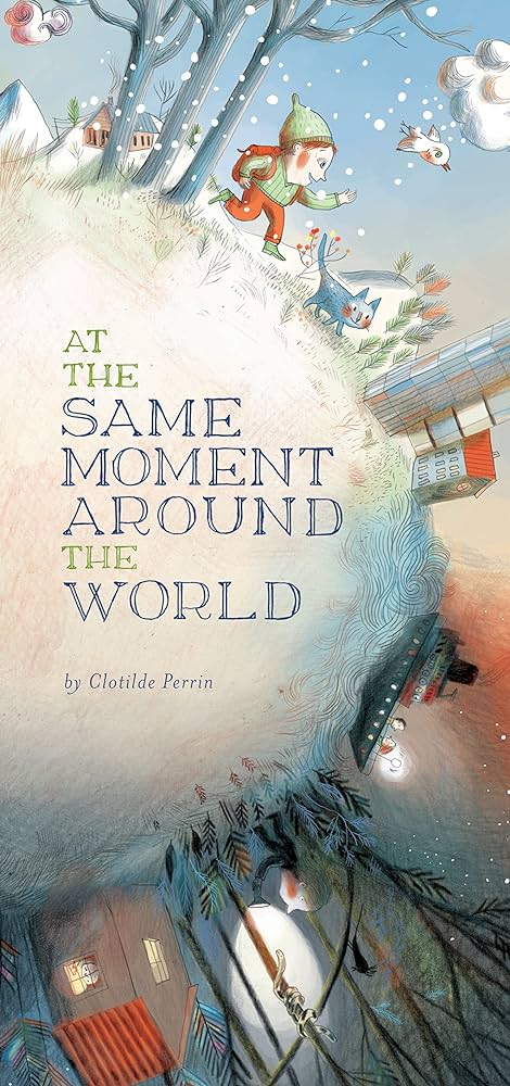
Read a book like At the Same Moment Around the World by Clotilde Perrin and introduce the idea of time zones. Create a clock wall for your room that shows the time zones in different cities around the world.
Buy it: At the Same Moment Around the World at Amazon
Investigate cultural artifacts
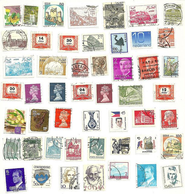
Look at stamps or money from around the world. What do different countries include on their stamps or money? How does their region and culture impact money or stamps?

